Two myths created by the media caused misunderstandings. One is that Chiang Mai faced the most severe problem, and the second is that this problem is likely to increase in severity every year. Statistics over the past 24 years indicate otherwise.
The haze problem in Thailand is mostly situated in the upper northern region in 9 provinces: Chiang Rai, Chiang Mai, Lamphun, Lampang, Phrae, Nan, Phayao, Mae Hong Son and Tak. It occurs from January to April of every year and is not a new problem for residents in the area. It is a consequence of an agricultural way of life which depends on burning to prepare land for farming in the rainy season. Burning deciduous dipterocarp and mixed deciduous forests which contain accumulated fallen branches and leaves as fuel, together with the topography of a basin surrounded by mountains makes the problem a bigger issue compared to other areas of the country. Haze from higher neighbouring countries called the government’s attention to the issue of air pollution from late 1997 to early 2007, before an air pollution crisis hit Bangkok and Prime Minister Gen Prayut Chan-o-cha had to announce that finding a solution to the haze situation was raised to the level of a national agenda item again in February 2019.
Many research projects in the past decade agree that haze is an air pollution issue caused by the accumulation of smoke and dust in the air. The proportion of chemical components varies depending on many factors, including the fuel, humidity, fire temperature, air pressure, and wind speed and direction. All this impacts people’s health, such as an increase in cases of respiratory and cardiovascular diseases, and the economy through such things as flight cancellations and decreased tourism.
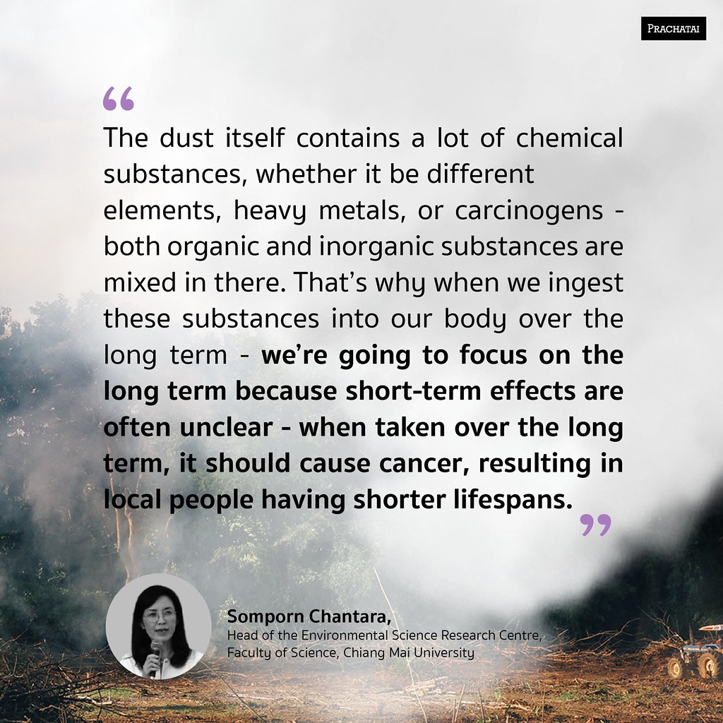
“The dust itself contains a lot of chemical substances, whether it be different elements, heavy metals, or carcinogens – both organic and inorganic substances are mixed in there. That’s why when we ingest these substances into our body over the long term – we’re going to focus on the long term because short-term effects are often unclear – when taken over the long term, it should cause cancer, resulting in local people having shorter lifespans.” said Somporn Chantara, Head of the Environmental Science Research Centre, Faculty of Science, Chiang Mai University.
Haze in the northern region occurs in winter, just before summer begins. At that time of year there is air stagnation due to high air pressure, causing less vertical ventilation. This leads to fine particulate matter to be suspended and not get carried away into higher levels of the atmosphere. Air pollution then intensifies, the cause mainly being open-air combustion which can be divided into 3 causes: (1) forest fires (2) burning of weeds and agricultural materials from growing corn and (3) burning of weeds and agricultural materials from rotational farming.
Transborder haze is another issue that cannot be overlooked. The 2020 summary report on forest fire and haze from satellite data by the Geo-Informatics and Space Technology Development Agency (Public Organisation) states that in Myanmar there are many hotspots in March and April every year, especially in areas bordering Thailand’s northern region, and the number is also twice that of the hotspots found in Thailand almost every year. Overall, the accumulated number of hotspots in Myanmar observed by the MODIS system between 1 January-21 May 2020, was 55,158, with the highest monthly figure in March at 27,994. Thailand had 26,308 hotspots with the highest monthly figure being in February at 8,434. The VIIR system showed 401,734 hotspots in Myanmar with the highest monthly figure being in March at 195,553. Thailand had 205,288 hotspots with the highest monthly figure also in March at 70,680. In Myanmar, there was an increase of 35,735 hotspots from 2019 while Thailand had a decrease.
Arisara Charoenpanyanet’s 2020 presentation
“Transborder haze and climate conditions” states that Thai capitalists had moved a large contract farming business into Shan state which has about 8,440,800 rai (1 rai = 1,600 m2) of land available for corn farming. The number of hotspots in corn growing areas is around 30%, which is in line with statistics of imports crossing the border with neighbouring Myanmar in Thailand’s northern region; the number 1 import in the past 1-2 years has been corn for animal feed.
The article “Unravelling the problem of transnational investment and transborder toxic haze” by Akkanut Wantanasombut [https://www.tcijthai.com/news/2017/26/scoop/6792] also suggests that in border areas, PM10 and PM2.5 levels are often clearly higher than in urban areas which are located deeper within the country. This means that even if we completely control combustion within the country, the haze issue will still remain as long as there is large-scale burning in neighbouring countries.
2020 haze crisis
Thailand started measuring PM2.5 values as an indicator of air quality in 2010. Initially, it was used within a limited circle. At that time there were only a few stations in Bangkok that were able to measure the level of PM2.5, even though PM2.5 can more clearly reflect the problem compared to PM10, as in 2013 with the values measured at the station at Yupparaj Wittayalai School in Chiang Mai. If PM10 is used as the indicator, there were 21 days where the value exceeded standards. If PM2.5 is used instead, the number is more than twice that – a total of 57 days, a difference of 36. The Pollution Control Department set the standard at an average within a 24-hour timeframe of no more than 50 µg/m³ (microgram per cubic metre), which is twice the standard set by the WHO.
Then came the important turning point in 2018, when Bangkok faced haze issues like never before beginning at the end of 2017. This resulted in PM2.5 becoming the measurement standard in all stations across the country and part of the Air Quality Index (AQI) of Thailand. For the northern region, it was only in 2019 that all 15 stations in 9 provinces were able to measure PM2.5 levels.
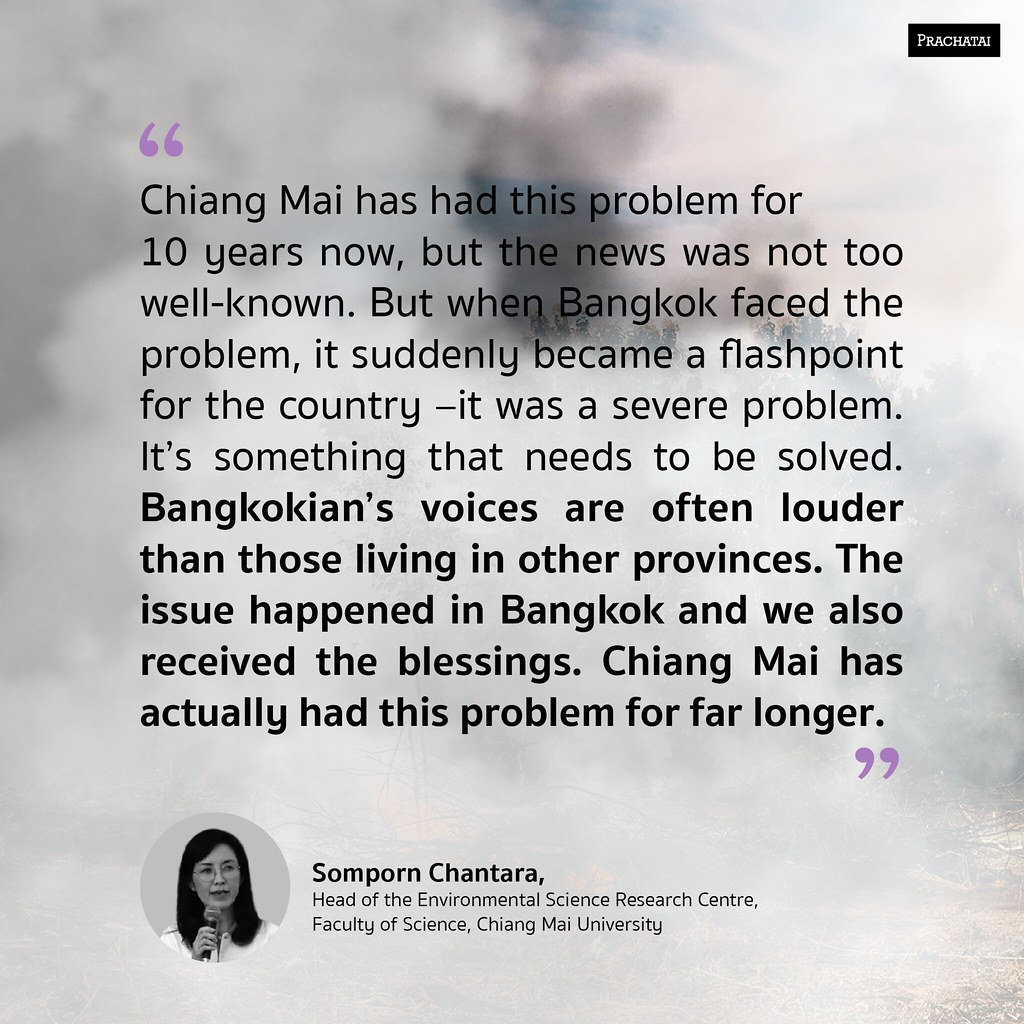
“Chiang Mai has had this problem for 10 years now, but the news was not too well-known. But when Bangkok faced the problem, it suddenly became a flashpoint for the country –it was a severe problem. It’s something that needs to be solved. Bangkokian’s voices are often louder than those living in other provinces. The issue happened in Bangkok and we also received the blessings. Chiang Mai has actually had this problem for far longer.” said Somporn from the Environmental Science Research Centre at Chiang Mai University.
Two myths created from the media’s emphasis caused misunderstandings among the people. One is that Chiang Mai faced the most severe problem, and the second is that this problem is likely to increase in severity every year. However, statistics over the past 24 years, ever since the establishment of the Chiang Mai and Lampang air quality monitoring stations in 1998, indicate otherwise.
Thai media often refer to the rankings in IQAir’s ‘AirVisual’ application. Headlines like “Chiang Mai haze ranked 1st worldwide” or “at 1st place nationally” were used, but in reality, this was based on real-time data from a point of time, not a 24-hour average as in the ‘Air4Thai’ application reported by the Pollution Control Department. It also only included less than 100 major cities in the world. For Thailand, only Chiang Mai and Bangkok were listed in the network.
From the 2019 World Air Quality Report by IQAir AirVisual [https://www.iqair.com/world-most-polluted-cities] which ranked the worst average air quality in the world and regions, Chiang Mai is not the city with the worst air quality in ASEAN (this is South Tangerang, Indonesia) or in Thailand (this is Nakhon Ratchasima). Chiang Mai was ranked 372nd in a total of 4,680 cities worldwide.
It can be said that Chiang Mai, and all of the upper north, has faced haze problems for a long time. Initially, the problem was even more severe than now, but what happened in the past is not too clear since there were few monitoring stations, leading to insufficient data, difficulty for people to access data, lack of internet, etc. More recently, the border areas with Myanmar have been facing more severe problems than Chiang Mai all along, such as Mueang District, Mae Hong Son Province; Mae Sot District, Tak Province and Mae Sai District, Chiang Rai Province. The situation in these areas is quite worrisome.
Looking at the big picture, if depicted in a graph, the line would be going up and down. There would be no trend at all toward becoming a severe problem where the graph continues to go up and up or toward a slow decrease. In some years, the graph is distinctly high in some months. This is related to the state measures enforced to deal with the problem, such as early burning or a complete ban on burning, which leads to changes in people’s burning behaviour. Area-specific factors also have great influence, because the severity in different provinces in each period of time does not completely correlate with each other.
Data from the Pollution Control Department’s website [air4thai.pcd.go.th] for the 5 years between 2015-2018 show that for Chiang Mai, the year with the highest amount of PM2.5 was 2015 at 266 µg/m³ while the year with the highest number of days with PM2.5 values exceeding the standard was 2014 with a total of 86 days. Data is taken from the monitoring station at Yupparaj Wittayalai School, Si Phum Subdistrict, Mueang District. For 8 other provinces, the province with the highest annual figure and highest number of days with PM2.5 values exceeding the standard often varies each year; Mae Mo in Lampang Province in 2015, Huai Kon in Nan Province in 2016, Mae Sot in Tak province in 2017 and 2018 and Mae Sai in Chiang Rai province in 2019. The year with the highest annual figure and the highest number of days with PM2.5 values exceeding the standard was 2019 at 357 µg/m³ and 78 days, respectively, at Mae Sai District.
The most recent data in 2020 indicates that overall, the haze situation in the northern region is slightly worse than the year before, especially in Mae Sai, with the highest PM2.5 value as high as 398 µg/m³ with a total of 79 days with PM2.5 values exceeding the standard. Every day in March had values higher than the standard. In contrast, the situation in Chiang Mai has improved, with the highest PM2.5 value at 174 µg/m³ and a total of 67 days with PM2.5 values exceeding the standard.
2020 forest fire situation
The 2019 annual report by the Forest Fire Control Division of the Department of National Park, Wildlife and Plant Conservation suggests that the causes of forest fires are (1) natural, such as lightning, friction between dry branches and leaves and spontaneous combustion in living organisms, and (2) manmade, such as agricultural burning, gathering forest products and hunting. In the past it was found that in the northern region, most forest fires were intentionally set in order to collect forest products. The 2019 fiscal year data by the Department of National Park, Wildlife and Plant Conservation confirmed that 68% of forest fires are of this type, while the rest are related to hunting and burning to expand residential or farming land, as well as carelessness from agricultural burning which escalated into a forest fire that spread out of control.
The terrain of steep mountains makes it difficult for the authorities to put out fires, as was continuously seen on the news in 2020. In just 3 months (February-April), a total of 7 persons lost their lives on duty while putting out forest fires, including officials (Subdistrict Administrative Organisation members, Village Heads) and volunteers (members of ethnic groups, youths). The incidents occurred in Chiang Mai and Mae Hong Son, which each had 3 deaths, and Chiang Rai.
As for the hotspot statistics, in the first 5 months of 2020, the Terra/Aqua satellite using the MODIS system showed a total of 8,600 hotspots in the 9 provinces of the upper north, while the VIIRS system showed a total of 88,855 hotspots. Even though Chiang Mai has the highest number of hotspots in the northern region, it does not match the actual burn scars. Mae Hong Son is the province with the most burn scars and has the highest ratio of burnt scars to area in all of the northern region and Thailand.
There is not much difference in the rankings of hotspots for each province in the two satellite systems, but there is a great difference in the values. The VIIRS is more detailed and can detect more than ten times the number of hotspots, with Chiang Mai being the province with the highest number of hotspots. The MODIS found 2,155 hotspots and the VIIRS found 21,658 hotspots, followed by Mae Hong Son Province with 1,497 hotspots and 16,607 hotspots, respectively, and third is Tak Province with 1,377 hotspots and 14,842 hotspots, respectively.
If analysed by land use, the highest number of hotspots are found in national forest reserves, then in conservation forests (the two areas combined amount to more than 90% of the hotspots), then Agricultural Land Reform areas, agricultural land, residential areas, and areas near highways.
The data clearly indicates that measures banning burning do not work. As many as 70% of all ignition points were found during the prohibition periods throughout the season. Although from the overview and provincially, there is likely to be a decreasing trend when compared to previous years’ statistics, there are increases in some provinces, especially in Chiang Mai where there was quite a large increase.
2020 data on burn scars from the Landsat-8 satellite show that in the 9 provinces combined there was a total of 8.6 million rai of burnt land – an area even larger than many provinces. Compared to 2019, accumulated burn scars have increased to 1,403,953 rai, or 2.13%. Mae Hong Son has the highest amount at 1,786,194 rai or 22.36% of the total area of the province. It was also found that the figures increased for almost all provinces, except for Tak. However, Tak is still ranked second with total burn scars of 1,454,741 rai or 13.45% of the province. Chiang Mai is third with 1,384,078 rai or 10.05% of the province.
Another important condition that is often neglected is the socio-economic marginalization of the population in highlands since they do not have the right to own agricultural land. Since areas in the plains are limited, agricultural land expanded into forest areas in the highlands where monoculture commercial crops are often grown, such as corn, in response to market demand and state support. These are short-lived plants because there is no soil stability. This leads to the use of fire in agricultural land management, becoming one of the causes for forest fire-haze problems.
Dynamics of problem solving and social awareness
This is a complex problem with no single cause. Prior research points to forest fires and agricultural land burning (including agricultural land in forest areas) as the main causes, not to mention transborder haze which is sweeping in. It is clear that northern haze has completely different sources from Bangkok’s, which is mainly from vehicles.
The severity of the issue depends on different factors each year. Past solutions have been by trial and error, correlating to different aspects of complex causes which changed according to the context in each area of physical environmental conditions, socio-economic conditions, state policies and measures in agricultural land use, land and forest resource use and haze management.
When the state first started to become serious about this issue (2004-2013), it enforced a measure to control burning, which is to conduct “early burning.” While the power structure of related state operations followed top-to-bottom command lines all along, in 2013 there were measures to have no fires or a “burn ban,” with fixed times for banning fires in all upper north provinces until today. An area-based single command system was deployed, with the province/district as the core management. Authority was given to the provincial governor/district chief officer to be fully responsible for their areas of authority, from the original system of surveillance areas by different agencies, such as national parks controlled by officials from the Department of National Park, Wildlife and Plant Conservation, forest reserves by Royal Forest Department officials, etc. In some years, some provinces were greatly successful. For example, the “Chiang Rai model” was able to decrease hotspots to only 19 in 2017. But it was not sustainable since the decreased burning led to more accumulated fuel in the forest, causing the following years to face even more severe forest fires that inflicted damage over enormous areas.
State agencies used the burning ban to declare absolutely no burning and used the number of hotspots as the indicator. Statistically, the numbers show that some provinces they were able to control the number of hotspots well, but the truth was that at the ground level there was still burning and more pollution than the standard, as was the case in Mae Hong Son Province. Hotspots alone cannot indicate the real problems since satellites are limited in capturing images over time.
In truth, when urban dwellers became aware of AQI ever since the AirVisual application started to become more popular than the Air4Thai application from around 2019 onwards, it led to interesting phenomena, whether it was the establishment of the Chiang Mai Breathe Council, the announcements to cancel classes at various educational institutions at all levels, giveaways of N95 masks by state and private organisations or campaigns by various groups such as those demanding that air quality be improved to international standards, etc. These social forces, in one aspect, pushed the state into significantly changing its stance.
The 2021 measures, will it be more trial and error?
The 2021 Northern Region Haze Prevention and Solution Plan in essence continues to deploy the “4 area measures, 5 management measures” approach of 4 major areas: 1) national forest reserves and conservation forests, 2) agricultural land, 3) community and urban areas and 4) roadsides; and 5 management measures: 1) an Incident Command System, 2) awareness raising measures, 3) fuel reduction, 4) civil state volunteer measures and 5) law enforcement, which is an approach that has been deployed for many years.
For Chiang Mai, 2021 is the first time for many years (since 2013) that the burning ban has been lifted . Instead, there is a request for collaboration from the people and the province is divided into north-south zones for fuel management. Operations will first start in the south zone in January and February, then the north zone in March and April, making a total of 4 months. This should be more flexible and appropriate than a policy set by the central government. There is also a fire-free village support project which deploys a rewards-based concept. It is an integrated project to reduce haze and develop participatory mechanisms in community management in order to prevent haze caused by burning in a sustainable manner.
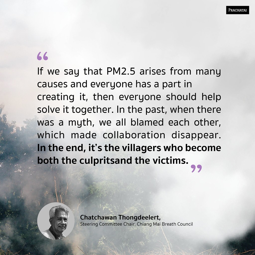
“If we say that PM2.5 arises from many causes and everyone has a part in creating it, then everyone should help solve it together. In the past, when there was a myth, we all blamed each other, which made collaboration disappear. In the end, it’s the villagers who become both the culprits and the victims.” said Chatchawan Thongdeelert, Steering Committee Chair, Chiang Mai Breath Council
These are the changes which will happen in 2021 in the upper north provinces, especially in Chiang Mai. Will this be successful or will it still be another year of trial and error? These are questions where we still have to wait for answers.
This report was made with support from Internews' Earth Journalism Network.

Prachatai English is an independent, non-profit news outlet committed to covering underreported issues in Thailand, especially about democratization and human rights, despite pressure from the authorities. Your support will ensure that we stay a professional media source and be able to meet the challenges and deliver in-depth reporting.
• Simple steps to support Prachatai English
1. Bank donation via the "Foundation for Community Educational Media (FCEM)", Krungthai Bank, account number 091-010-4328, Swift Code: KRTHTHBK
2. Or, Transfer money via Paypal, to e-mail address: [email protected], please leave a comment on the transaction as “For Prachatai English”